
Description
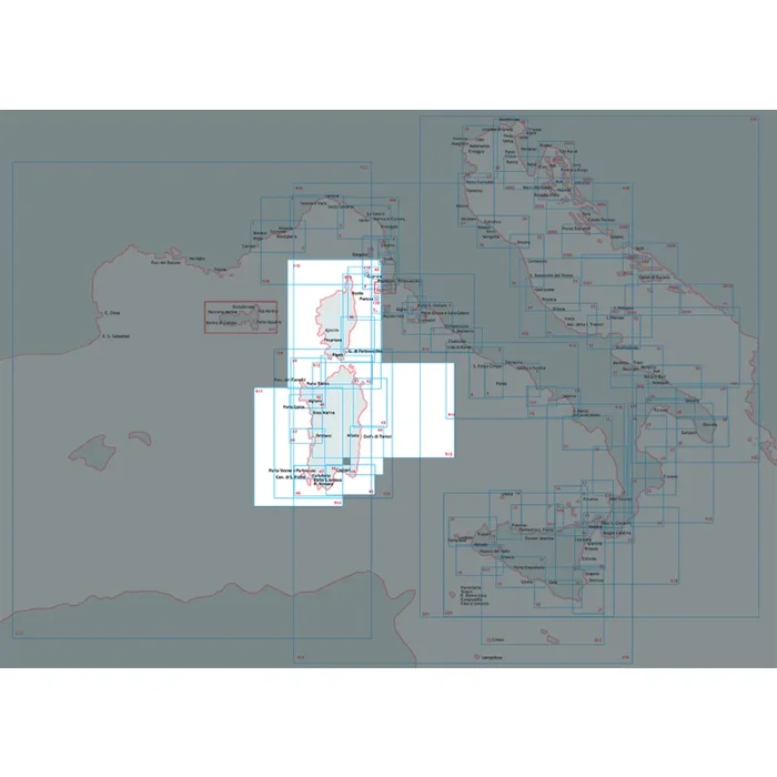
CORSICA AND SARDINIA Nautical Chart by Istituto Idrografico della Marina is a comprehensive navigational tool designed for sailors, mariners, and boating enthusiasts navigating the stunning waters of Corsica and Sardinia. This printed nautical chart is meticulously crafted at a scale of 1:250,000, providing an intricate and detailed representation of the maritime landscape.
Measuring 116 x 83 cm, the chart is printed on high-quality, durable paper that can withstand exposure to water and other maritime elements, ensuring longevity and reliability during your nautical adventures. This chart includes vital navigational information, such as coastal outlines, depths, tide information, and hazards, making it an essential addition to any boaters gear.
This nautical chart is not just a tool, but an indispensable companion for safe navigation in the intricate maritime routes of the Mediterranean. Whether you are planning a short cruise or a long passage, the CORSICA AND SARDINIA Nautical Chart will enhance your navigation experience with precise information.
Scale: 1:250,000
Dimensions: 116 x 83 cm
Material: High-quality, water-resistant paper
Features: Detailed coastal outlines, depth contours, navigational hazards
Brand: Istituto Idrografico della Marina

Reviews
There are no reviews yet.