

Description
Product Overview
Garmin VEU457S – Bretagne | 010-C0801-00
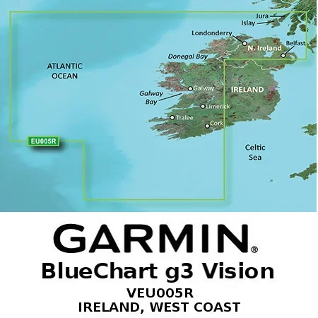
Garmin’s exclusive BlueChart g3 Cartography is built specifically to complement Garmin’s product line of marine Handhelds and Multifunction Displays.
BlueChart g3 Vision
Advanced Chart Detail
Detailed Contours
Auto-Guidance (Calculate routes and see suggested paths to follow)
Depth Range Shading
Shallow Water Shading
High-Resolution Satellite Imagery (Satellite image overlaid onto charts giving a realistic view of your surroundings)
Aerial Photography
Marinerseye View (3D representation of the ocean floor as seen from below the waterline)
Fisheye View (3D representation of the surrounding area both above & below the waterline)


Reviews
There are no reviews yet.