
Description
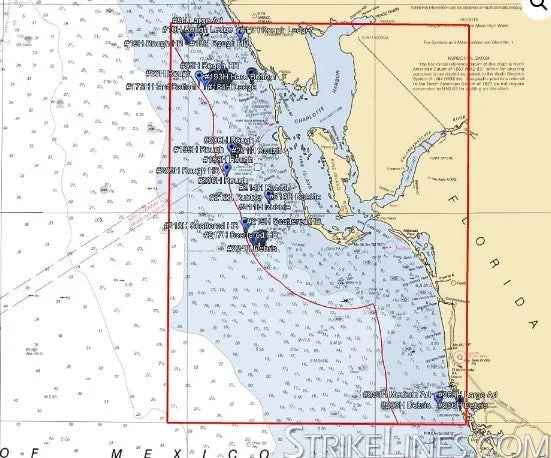
Fort Myers Nearshore fishing chart with 280 GPS Waypoints.
The Fort Myers Nearshore fishing chart is located in state waters (within 9 nautical miles of shore), from South Venice to just north of Marco Island. The Fort Myers nearshore fishing map contains great ledges, rocky hard bottom, large areas of debris, lots of artificials, wrecks, and other features. This chart contains 280 waypoints.
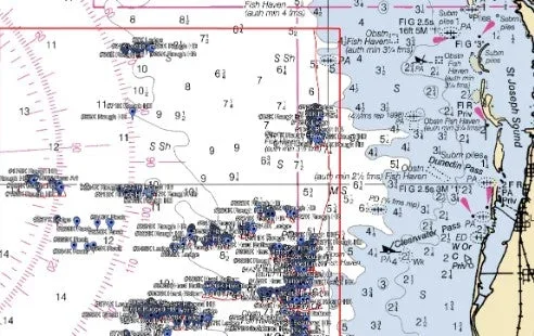
Depths on this preview map may be displayed in fathoms (6 feet), meters, or feet depending on your zoom level.
Reviews
There are no reviews yet.